Comprehensive Guide to Drone Mapping Services: Pricing, Applications, and Professional Selection
With the rapid advancement of technology, drone mapping has become an essential tool in land surveying, construction engineering, agricultural management, and environmental monitoring. Efficient, flexible, and reasonably priced drone mapping services now provide both businesses and individuals with precise terrain data and better decision-making support. This article offers a complete overview of drone mapping services, including typical price ranges, key factors that affect costs, and practical tips on how to choose a reliable drone mapping provider.

Modern drone mapping technology has revolutionized data collection across numerous industries, providing cost-effective alternatives to traditional surveying methods. As businesses increasingly recognize the value of accurate aerial data, understanding the landscape of drone surveying services, associated costs, and provider selection criteria becomes essential for successful project implementation.
What Are Drone Mapping Services and How Do They Work?
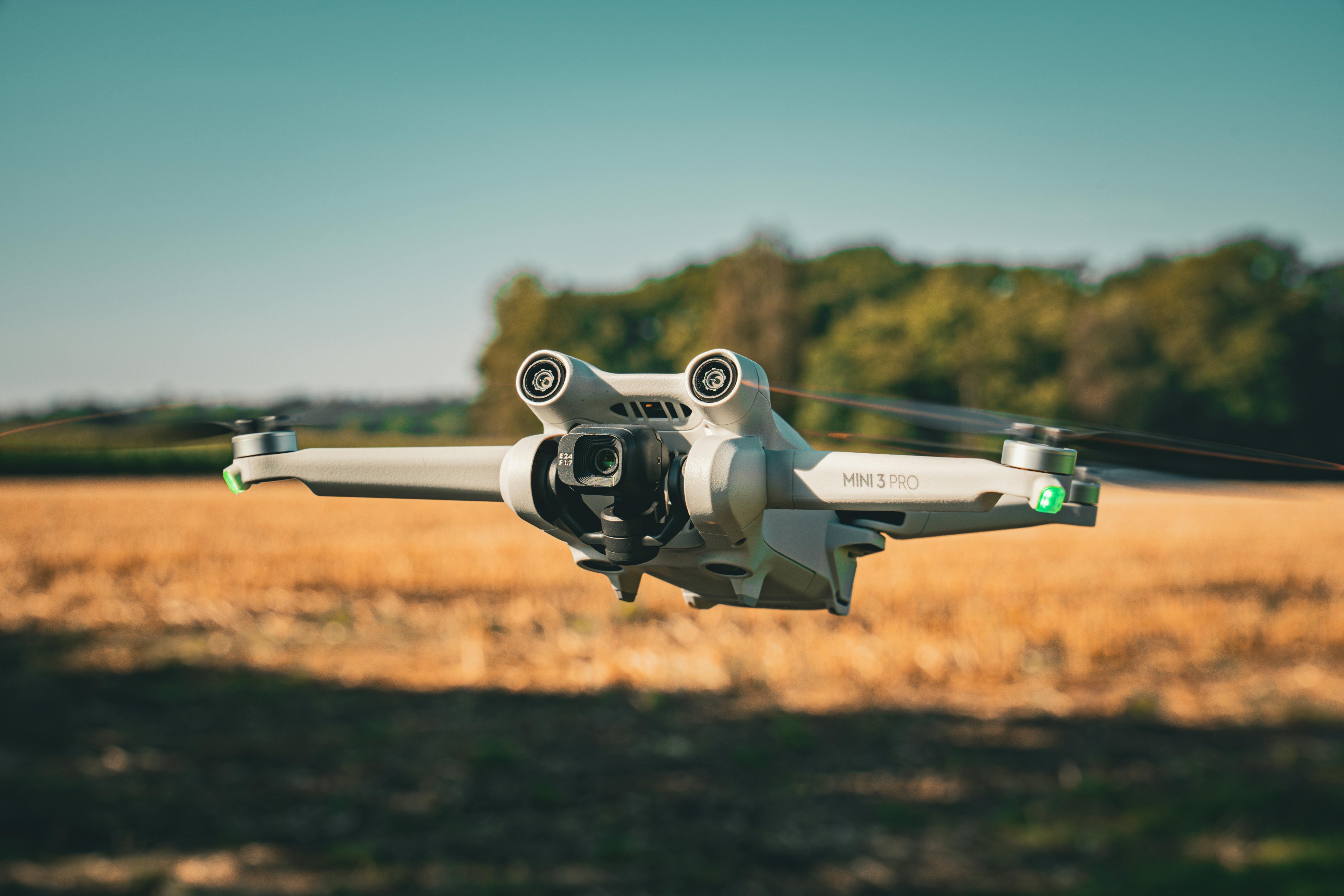
Drone mapping services utilize unmanned aerial vehicles equipped with high-resolution cameras, LiDAR sensors, or multispectral imaging equipment to capture detailed aerial data. Professional drone survey companies process this raw data through photogrammetry software to create orthomosaic maps, 3D models, digital elevation models, and point clouds. These deliverables provide accurate measurements, volumetric calculations, and visual documentation that support decision-making across construction, mining, agriculture, real estate, and environmental monitoring sectors. The process typically involves flight planning, data acquisition, processing, and delivery of actionable insights tailored to specific project requirements.
Common Applications of Aerial Surveying Services
Aerial surveying services address diverse industry needs with specialized applications. Construction companies use drone surveying for site planning, progress monitoring, and volumetric analysis of earthwork. Agricultural operations leverage multispectral imaging to assess crop health, optimize irrigation, and manage field variability. Mining and quarry operations rely on regular drone surveys for stockpile measurements and site safety assessments. Real estate developers utilize aerial mapping for property documentation and marketing materials. Environmental scientists employ drone technology for habitat monitoring, erosion assessment, and wetland mapping. Infrastructure inspections of bridges, power lines, and pipelines benefit from detailed aerial imagery that identifies maintenance needs without requiring dangerous manual inspections.
Understanding Drone Survey Cost Factors
Multiple variables influence drone survey cost, making it essential to understand pricing structures before engaging services. Project size represents the primary cost driver, with larger areas requiring more flight time and data processing. Site complexity, including terrain variation and obstacles, affects operational difficulty and time requirements. Deliverable specifications such as resolution requirements, 3D modeling depth, and specialized analysis increase processing demands. Geographic location impacts travel costs and regional pricing variations. Equipment sophistication, from basic RGB cameras to advanced LiDAR systems, significantly affects service rates. Turnaround time expectations may incur rush fees for expedited delivery. Most drone survey companies offer customized quotes based on these factors rather than standardized pricing.
Typical Pricing Ranges for Drone Surveying Projects
While costs vary considerably based on project specifications, general pricing benchmarks provide useful planning guidance. Small residential property surveys typically range from 300 to 800 dollars for basic mapping deliverables covering under five acres. Medium commercial projects spanning 10 to 50 acres generally cost between 1,500 and 4,000 dollars depending on deliverable complexity. Large-scale industrial or agricultural surveys exceeding 100 acres may range from 5,000 to 15,000 dollars or more, particularly when requiring advanced processing or specialized sensors. Linear infrastructure inspections are often priced per mile, ranging from 500 to 2,000 dollars depending on accessibility and documentation requirements. Subscription-based monitoring services for ongoing projects may offer volume discounts compared to one-time surveys.
| Service Type | Typical Coverage | Cost Estimation |
|---|---|---|
| Residential Property Survey | Under 5 acres | 300 - 800 dollars |
| Commercial Site Mapping | 10 - 50 acres | 1,500 - 4,000 dollars |
| Agricultural Field Analysis | 50 - 200 acres | 3,000 - 8,000 dollars |
| Construction Progress Monitoring | Per visit, 5 - 20 acres | 800 - 2,500 dollars |
| Infrastructure Inspection | Per mile | 500 - 2,000 dollars |
| Large Industrial Survey | 100+ acres | 5,000 - 15,000+ dollars |
Prices, rates, or cost estimates mentioned in this article are based on the latest available information but may change over time. Independent research is advised before making financial decisions.
How to Select Qualified Drone Survey Companies
Choosing the right provider ensures project success and regulatory compliance. Verify that drone survey companies hold current Part 107 Remote Pilot Certificates from the Federal Aviation Administration, which demonstrates operational competency and legal authorization. Assess technical capabilities by reviewing equipment specifications, processing software proficiency, and deliverable samples from comparable projects. Industry-specific experience matters significantly, as agriculture surveys require different expertise than construction or mining applications. Insurance coverage, including liability and equipment policies, protects both parties from potential incidents. Request detailed proposals outlining scope, deliverables, timelines, and pricing structures to enable meaningful comparisons. Client references and portfolio reviews provide insights into reliability, communication quality, and deliverable accuracy. Data security protocols become particularly important for sensitive projects requiring confidentiality.
Maximizing Value from Drone Mapping Investments
Strategic planning enhances the return on investment from aerial surveying services. Clearly define project objectives and required deliverables before soliciting quotes to ensure providers understand expectations. Schedule surveys during optimal weather and lighting conditions to maximize data quality. For ongoing projects, establish regular survey intervals that balance monitoring needs against budget constraints. Integrate drone data with existing Geographic Information Systems or project management platforms to streamline workflows. Train internal teams to interpret and utilize deliverables effectively, maximizing their operational value. Consider long-term partnerships with drone survey companies for consistent service quality and potential volume discounts. Evaluate emerging technologies like automated flight planning and artificial intelligence-enhanced processing that may offer efficiency improvements.
Drone mapping services continue evolving as technology advances and costs decrease, making professional aerial surveying increasingly accessible across industries. By understanding pricing factors, application possibilities, and provider selection criteria, organizations can leverage this powerful technology to improve project outcomes, reduce costs, and enhance decision-making capabilities. Thorough research and clear communication with qualified drone survey companies ensure successful implementation tailored to specific operational needs.


